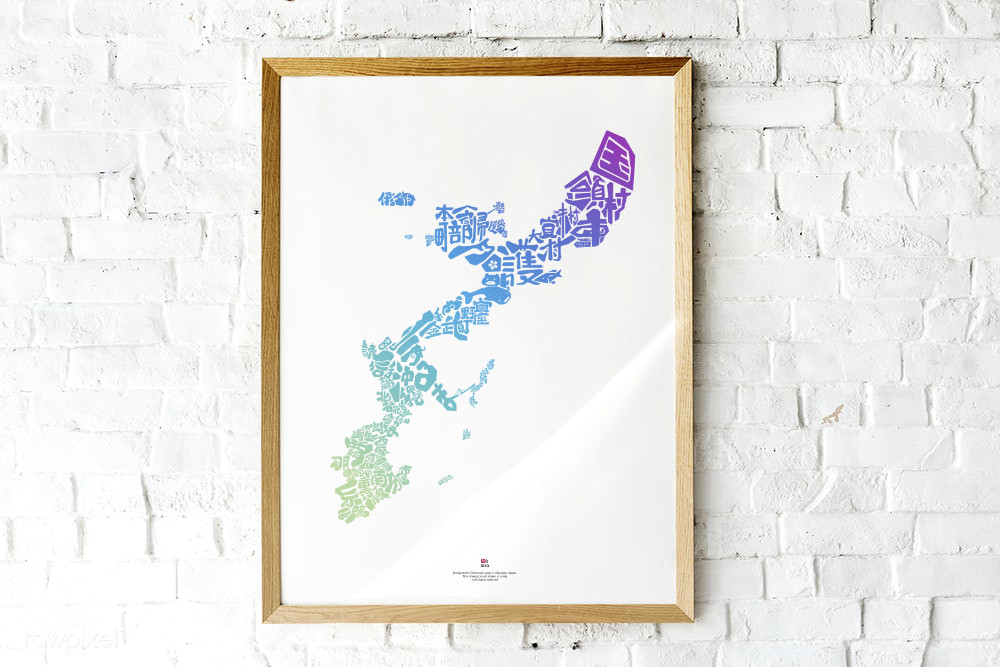

Since its initial launch in 2016, the Okinawa Map has become the talk of the town in Okinawa. You see it in your friend’s home, on social media, at the community center, in local cafes, and restaurants. Teachers in Okinawa are now using this map to educate young Okinawans about the beautiful island they call home.
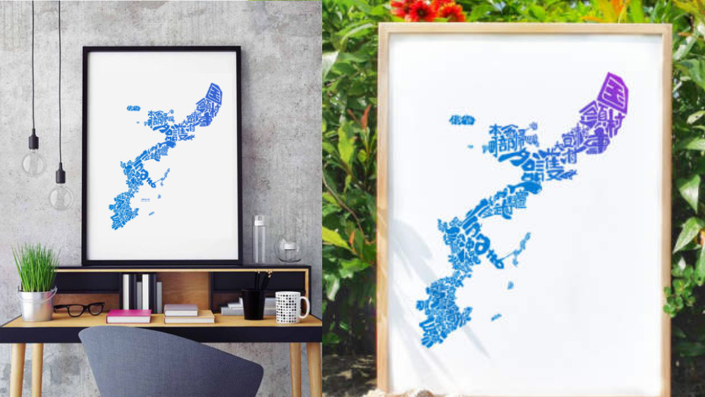
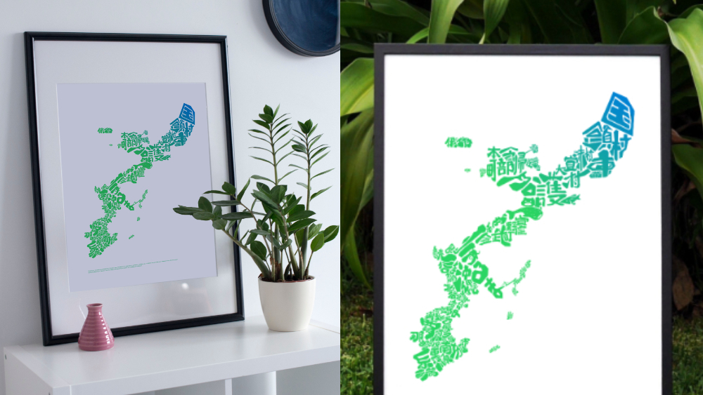
Here’s a quick rundown: The map is assembled using the names of Okinawan cities in Japanese. Each name follows the shape of its respective city.
The latest version of the map features over 30 hidden symbols representing celebrated tourist spots, local products, folktales, and the history of the Ryukyu Kingdom.
Discover the hidden symbols in the map and the stories behind them. Each short article below highlights a hidden symbol. Let’s explore the hidden side of Okinawa.
-
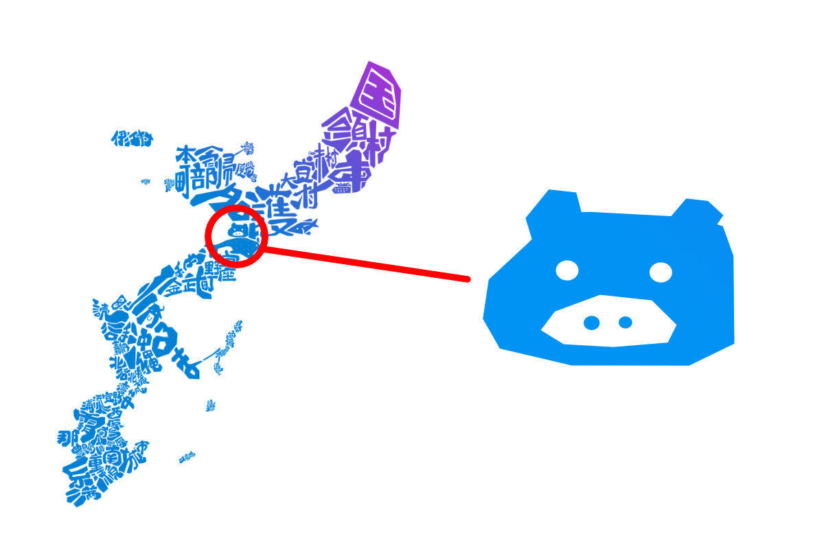
Secret in The Map #1: The Pig Face
We kick off the series of Secret In The Map with one the most noticeable symbols on the map – the pig face. You will learn what that stands for and the stories behind it…